


MileageWise Named “Best for Compliance” by Forbes
We’re excited to share that MileageWise has been featured in the Forbes 2025 list of the best mileage trackers! The review highlights what makes MileageWise

Is There a Maximum Mileage Deduction?
You’re wondering if there’s a maximum mileage deduction the IRS allows, the straightforward answer is no. There’s no maximum mileage limit for the IRS standard

Now on the App Store: Mileage Log from Google Maps for iPhone
Our Mileage Log from Google Maps app is now available in the Apple App Store! iPhone users can convert Google Maps Timeline drives into an
Only at MileageWise: Choose the Way to Calculate Your Mileage
We’ve upgraded how mileage is calculated in our mileage tracker app. 🎉 From now on, you can choose between two distance calculation methods depending on

Company Car vs Car Allowance: Which is Better for Your Business?
Last Updated: February 27, 2025 Deciding between a company car vs car allowance for your employees involves weighing costs, flexibility, and tax implications. For U.S.

Vehicle Fleet Software to Boost Your Business
Last Updated: January 19, 2026 Vehicle fleet software helps businesses handle their vehicles much better, cutting down costs and making everything run smoother. This type


MileageWise Named “Best for Compliance” by Forbes
We’re excited to share that MileageWise has been featured in the Forbes 2025 list of the best mileage trackers! The review highlights what makes MileageWise
Is There a Maximum Mileage Deduction?
You’re wondering if there’s a maximum mileage deduction the IRS allows, the straightforward answer is no. There’s no maximum mileage limit for the IRS standard
Now on the App Store: Mileage Log from Google Maps for iPhone
Our Mileage Log from Google Maps app is now available in the Apple App Store! iPhone users can convert Google Maps Timeline drives into an
Only at MileageWise: Choose the Way to Calculate Your Mileage
We’ve upgraded how mileage is calculated in our mileage tracker app. 🎉 From now on, you can choose between two distance calculation methods depending on
Company Car vs Car Allowance: Which is Better for Your Business?
Last Updated: February 27, 2025 Deciding between a company car vs car allowance for your employees involves weighing costs, flexibility, and tax implications. For U.S.
Vehicle Fleet Software to Boost Your Business
Last Updated: January 19, 2026 Vehicle fleet software helps businesses handle their vehicles much better, cutting down costs and making everything run smoother. This type
Now on the App Store: Mileage Log from Google Maps for iPhone
Our Mileage Log from Google Maps app is now available in the Apple App Store! iPhone users can convert Google Maps Timeline drives into an
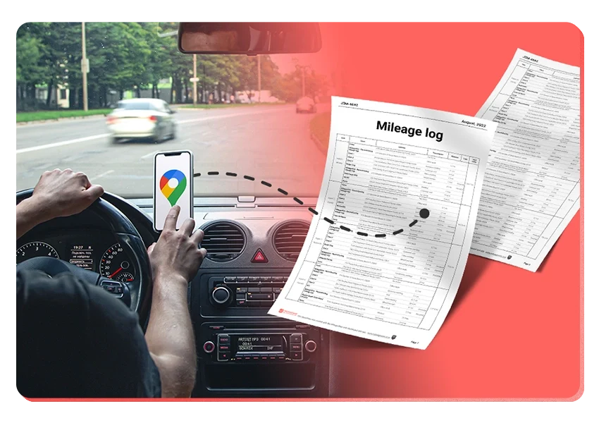
Introducing the Mileage Log from Google Maps App
We’re excited to share our latest development! You can now convert your Google Maps Timeline drives directly into an IRS-compliant mileage log right on your
Was Your Google Timeline Deleted? Here’s What Happened:
Last updated: November 20, 2025 If you recently opened Google Maps and noticed your Timeline was deleted or partially missing, you’re not alone. In this
It’s Finally Here! Google Maps Timeline Import from Mobiles
Struggling to Manage Your Trips After Google’s Timeline Update? If you’re reading this, you’ve likely encountered the recent update affecting Google Maps Timeline. With Timeline
Transform your Trip Lists into Mileage Logs with MileageWise
Last Updated: October 1, 2025 Do you have a list of monthly trips from a data source like Excel or Google Timeline, but need to
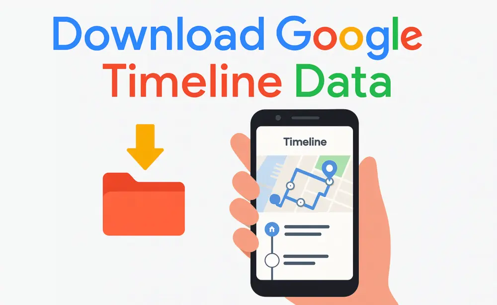
How to Download Google Timeline Data: A Guide
Google Timeline Import Hub Last Updated: October 30, 2025 Want to download Google Timeline data? This guide shows you how to extract your location history
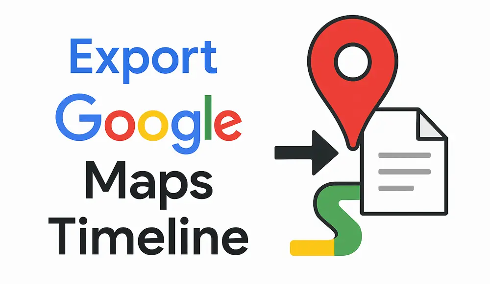
How to Export Google Maps Timeline: Get Your Data
Google Timeline Import Hub Last Updated: October 29, 2025 It can be tricky to export Google Maps Timeline data after Google’s recent updates. Many users
Google Maps Mileage Tracker: From Timeline to Mileage Log
Google Timeline Import Hub Last updated: February 26, 2026 If you’re an active user of Google Maps Timeline you likely already know how convenient it
Timeero
Table of Contents Timeero Timeero is a time, location, and mileage tracking app designed for businesses and teams in the United States. It helps employers
Milewise by Allstate
Table of Contents Milewise by Allstate Milewise by Allstate is a pay-per-mile car insurance program offered by Allstate Insurance in the United States. It’s designed
Hurldr
Table of Contents Hurdlr Hurdlr is a finance and expense tracking app designed for self-employed professionals, freelancers, and gig workers in the United States. It